

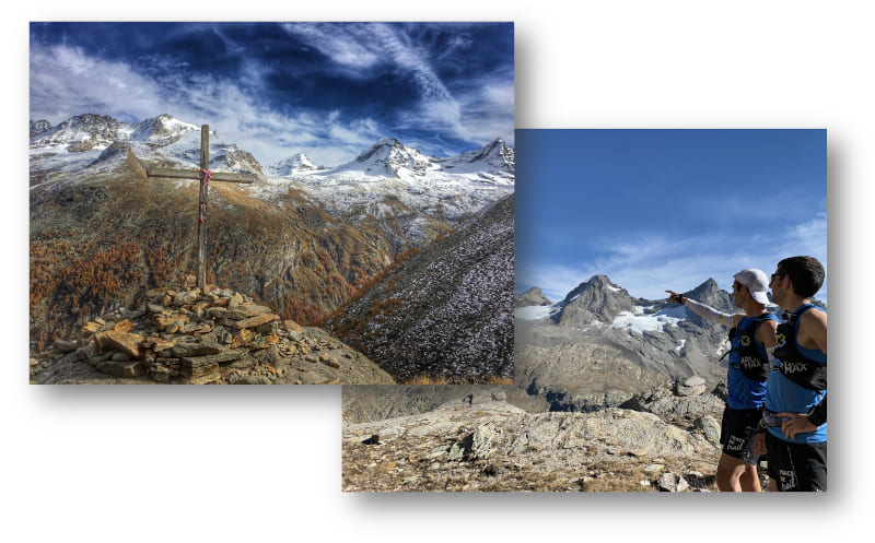
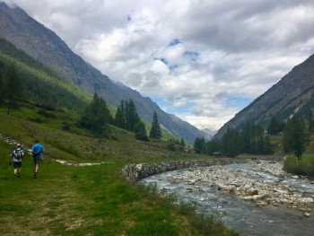
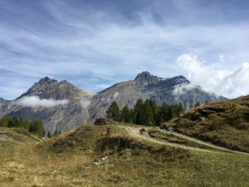
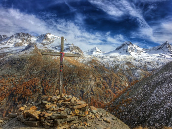
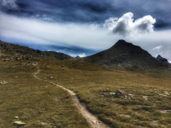
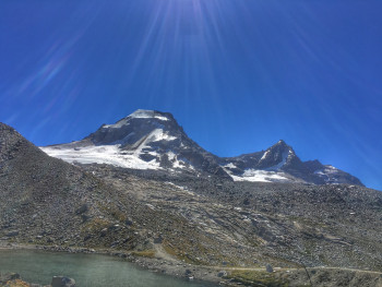
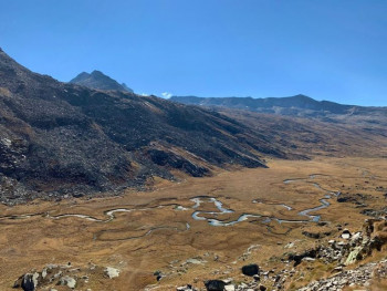
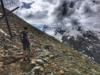
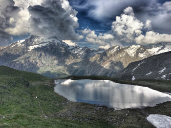
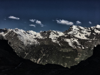
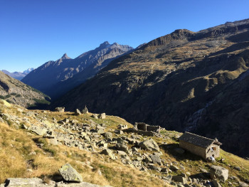
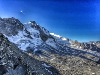
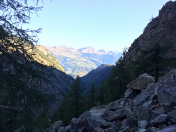
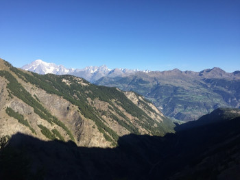
Come and discover a wild and authentic valley, in the heart of the Gran Paradiso National Park, which is home to an exceptional fauna and flora. Chamois, ibexes and marmots will accompany you throughout your outings.
You will walk along the paths of a preserved valley with magnificent panoramas of the Gran Paradiso (4061 m) and the peaks of this alpine valley.

12.4km 620m 620m
Valsavarenche
Route opened
10.7km 740m 740m
Valsavarenche
Route opened
12.8km 890m 890m
Valsavarenche
Route opened
10.5km 900m 900m
Valsavarenche
Route opened
17.9km 1270m 1260m
Inconnue
Route opened
20.7km 1210m 1210m
Valsavarenche
Route opened
11.8km 1170m 1160m
Valsavarenche
Route opened
22.9km 1470m 1470m
Valsavarenche
Route opened
18.6km 1400m 1400m
Degioz
Route opened
60.6km 4010m 4010m
Valsavarenche
Route opened
28.5km 2340m 2340m
Degioz
Route closed
3.2km 1060m 10m
Fenille
Route opened
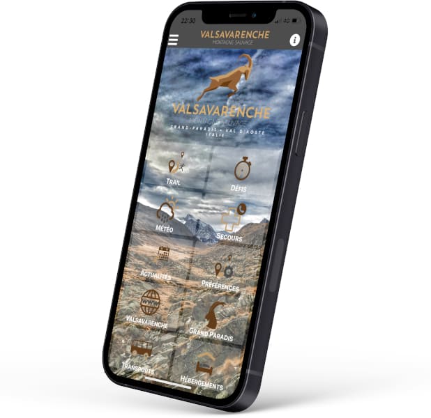
Discover the mobile app of Valsavarenche and take with you the routes to discover a wild and authentic valley, in the heart of the Gran Paradiso National Park. Chamois, ibex and marmots will accompany you throughout your outings.
Discover many features :
- Caching of maps and routes for use off the network
- Localization at any time on the map and the profile thanks to the GPS of your smartphone
- Route exit alert
- Weather forecast
- Adding achievements, reports
- ...


Coming to Valsavarenche
![]()
Info & contacts
Comune di Valsavarenche
Loc. Dégioz, 166
11010 Valsavarenche (AO)
Tel. (+39) 0165 905703

